Return to main Vanishing B.C. page Return to home page
Page last updated March 29, 2025
© Michael Kluckner
This was all written and painted before the Site C Dam was begun.
I'd love to find out what's left of these landscapes.

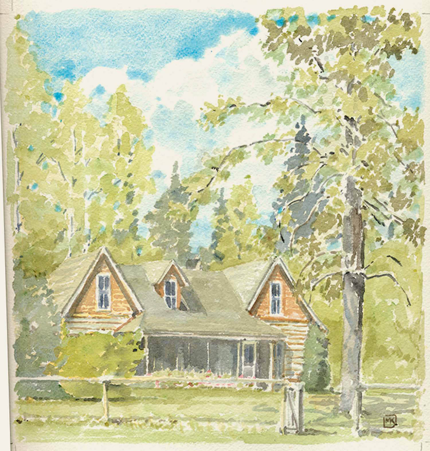
| 2003: The Ardill's Ranch at Farrell Creek, an unusual and very fine squared-log home along the Peace River about 30 km. east of Hudson's Hope. Henry Watson Farrell, from Maine, homesteaded at the mouth of Farrell Creek in 1902, then sold out to the Ardill family about 1923 and left the area. [Kyllo, p. 21] Jack Ardill visited the area as a surveyor before the First World War and returned in 1919; he filed for a Homestead and a Soldier's Grant in 1920 for the land at the mouth of Farrell Creek. Initially, he took over half of Henry Farrell's trapline to make money. |

|
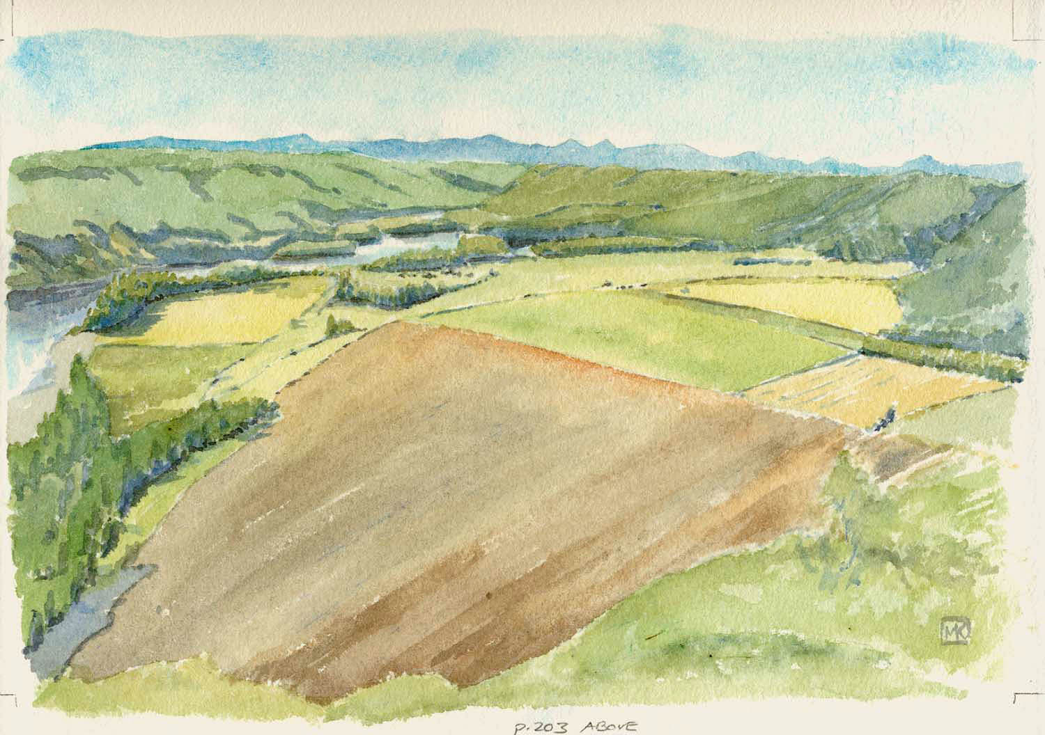
2003: The old Tompkins' Ranch at the Halfway River is one of the great sights on the slow run of the Peace between Hudson's Hope and Fort St. John. I sat at the lookout to the east of it at about 9 o'clock on a September morning. There was a combine working on one of the distant fields, out of earshot, only its small cloud of dust visible. To my left, seemingly on the far side of the river, coyotes or wolves were howling/socializing. The distant mountains are the Rockies. The Halfway River, originally the Riviere du Milieu so named by surveyor Charles Horetzky in 1872, drains into the Peace in the middle distance. It is more or less halfway between the two historic forts on the Peace: Rocky Mountain Fort (aka Fort St. John) to the east and Rocky Mountain Portage (aka Hudson's Hope) founded in 1808 by Simon Fraser; the latter portage bypassed the canyon on the Peace River that was harnessed in the 1960s by the WAC Bennett dam. Charles Horetzky served on the Canadian Pacific Railway survey of 1871-2. He and botanist John Macoun were impressed by the area and recommended a northern route for the proposed transcontinental railway. To further promote his vision, he wrote and published "Canada on the Pacific, a Journey from Edmonton to the Pacific by the Peace River Valley" in 1874. The dot on the map there is Attachie, the name chosen for a post office at the mouth of the Halfway River that operated from late 1928 to 1931, although there are no buildings in the area other than those on the ranch. Attachie, one of the signatories of the Beaver Indian Treaty 8 in 1899, was one of the most important of the hunters trading at Fort St. John in the years around the First World War. He died in the influenza epidemic in 1918-1919. [Kyllo page 3] His eldest daughter, Bella Yahey [born c. 1858; died Fort St. John hospital July 16, 1976) was reputed to be the oldest woman in Canada at the time of her death. Philip Tompkins, born in Ontario, came to the Peace in 1919 after war service and bought land that had been settled by Forfar & MacDonald in 1911 [Kyllo, p. 40] and was also known as the Cadenhead Farm. Their connections with the outside world were primarily by riverboat, which ran from the head of navigation at Hudson's Hope: the famous one was the sternwheeler D.A. Thomas whose namesake was better known as Lord Rhondda, the Food Controller for Great Britain during World War One who had invested heavily in the industrial potential--especially the coal and petroleum resources--in this part of northern BC. Making reference to the transportation difficulties even as late as 1927, journalist E.H. Lukin Johnston wrote that Tompkins harvested 1500 bushels of wheat but had to hold onto to it until the following spring when navigation opened, then ship it in sacks to Peace River. Tompkins, he wrote, had eight children, and in order to reach the threshhold for a school for the area he hired a married man with two children "from the Old Country." [cited in Peace River Chronicles, p. 410] [Source is Kyllo, M.A. Geographic Place Names Around Hudson's Hope. Malakwa, BC. 1992. Collection of Edward and Eliza Stanton.] Mel and Edith Kyllo's log house is one of the old buidlings in Hudson's Hope. |
